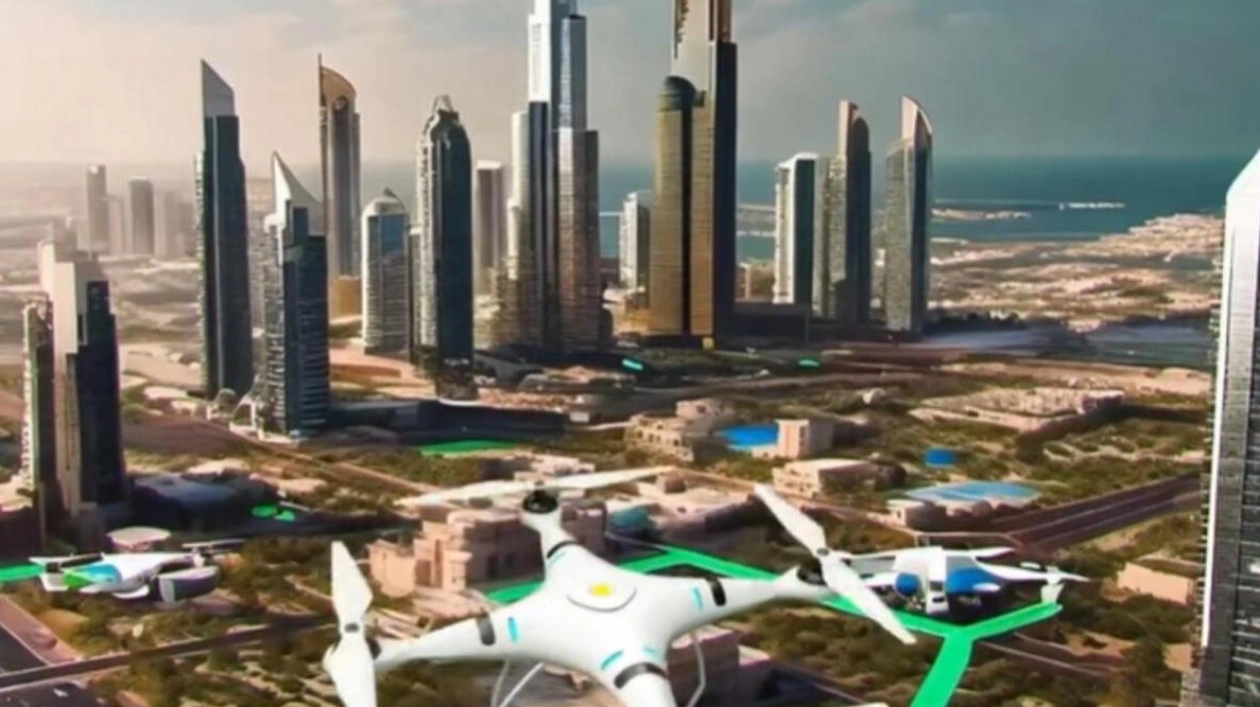
Dubai is set to simplify drone deliveries with the announcement of the second phase completion of the 'Dubai Horizons' project by Dubai Municipality. This initiative will incorporate low-altitude airspace into building regulations through the use of 3D GIS and a collaborative platform for stakeholders. 3D GIS technology allows urban planners to create detailed 3D maps, including depth, which will be utilized for vertical airport sites, essentially traditional airports rotated 90 degrees. These mini vertical airports and runways in Dubai are designed to streamline drone and other air delivery services. Leveraging geospatial databases, which include 3D maps of all city landmarks and facilities, Dubai Municipality is developing an infrastructure for drone systems that will notably bolster Dubai’s economy, as stated by Dawoud Al Hajri, the director general of Dubai Municipality, in an earlier interview with Khaleej Times. Upon completion, the 'Dubai Horizons' project is expected to significantly enhance Dubai's capability to utilize drones and air delivery services with precise and defined routes. Additionally, the project will improve air navigation security and safety standards and foster a conducive investment environment in the logistics sector, as Al Hajri mentioned following the completion of the project's first phase in November 2023. The benefits of air delivery, such as speed, uninterrupted service, and avoidance of traffic, make it a convenient choice. However, companies aiming to deliver goods must also consider cybersecurity measures to protect sensitive information like customer details and locations.

Text: Lara Palmer
26.08.2024
Enhancing low-altitude airspace integration and safety standards for drone deliveries in Dubai


