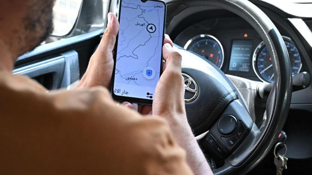
Uber driver Hussein Khalil was navigating through Beirut's congested traffic when his online map indicated he was in the Gaza Strip, a situation attributed to location jamming by Israel that has disrupted daily life in Lebanon. "We've been facing this issue frequently for about five months," Khalil, 36, explained. "At times, it prevents us from working altogether," he complained to AFP amidst Beirut's chaotic streets. "Naturally, this is costing us money."
Erroneous location data on applications has been a source of confusion in Lebanon for months, coinciding with cross-border skirmishes between the Hezbollah militant group and Israel. In March, Beirut filed a complaint with the United Nations, accusing Israel of infringing on Lebanese sovereignty by jamming the airspace around Beirut's airport. Khalil displayed screenshots to AFP showing his location erroneously placed not only in Rafah, Gaza, approximately 300 kilometers away, but also near the Syrian border in east Lebanon, while he was actually in Beirut.
With online maps malfunctioning, Khalil recounted an incident where a passenger called to inquire if he was in Baalbek, a city in east Lebanon. "I assured her: 'No, I'll be at your location in Beirut in two minutes.'" Many residents have experienced their online maps showing them at Beirut airport while they were elsewhere in the city. Following Hamas's attack on October 7, Israel has implemented measures to disrupt GPS functionality for the group and its adversaries. The Israeli army acknowledged in October that it had proactively disrupted GPS for operational needs, cautioning of potential temporary disruptions to location-based applications.
The specialist site gpsjam.org, which aggregates geolocation signal disruption data from aircraft reports, noted a low level of disruption around Gaza on October 7, but reported increased disturbances the following day in the Palestinian territory and along the Israel-Lebanon border. On June 28, the site indicated high levels of interference over Lebanon, parts of Syria, Jordan, and Israel. An AFP journalist in Jerusalem found her location erroneously displayed as Cairo, Egypt, about 400 kilometers away. The interference has also affected Cyprus, about 200 kilometers from Lebanon, where AFP journalists reported their GPS locations as being at Beirut airport instead of on the island.
Freddy Khoueiry, a global security analyst focusing on the Middle East and North Africa, explained that Israel is employing GPS jamming to disrupt Hezbollah's communications and using GPS spoofing to interfere with drones and precision-guided missiles. Hezbollah, backed by Iran, possesses a substantial arsenal of GPS-assisted weapons. The cross-border clashes have resulted in over 490 deaths in Lebanon, predominantly fighters, and 26 in northern Israel, according to respective tallies. There are growing concerns of a full-scale conflict between the adversaries, who last engaged in war in 2006.
Regarding GPS jamming in northern Israel, where Hezbollah has intensified its attacks, a spokesperson for Israel's defense ministry stated that operational matters could not be discussed at present. Lebanon's civil aviation chief, Fadi El-Hassan, has instructed pilots since March to rely on ground navigation equipment rather than GPS due to persistent interference. He expressed frustration that in the modern technological era, pilots cannot use GPS for landing due to Israeli interference. Lebanon is maintaining ground navigation equipment to ensure safe landings. Avedis Seropian, a licensed pilot, has ceased using GPS in recent months, relying instead on a compass and paper maps, though he noted the absence of GPS as a backup is disconcerting, especially in poor visibility conditions.


