Key points
- Face oils are popular skincare products made with a mixture of plant oils and other ingredients. These products are very beneficial for the skin. For instance, they help the skin stay plump and hydrated by locking in moisture and nutrients from other skincare products and ingredients. Face oil also serves as a protective barrier for our skin. But in order to feel these benefits, you need to use face oil correctly.
- You can use face oil every day or even twice a day. Keep in mind that face oil should be the last layer of your skincare routine, so you need to apply it after your moisturiser using the patting technique. You can also mix a few drops of oil with your moisturiser.
- Face oils don’t work very well when layered on top of moisturisers that contain SPF, so if you want to use a face oil, make sure to apply it underneath sunscreen.
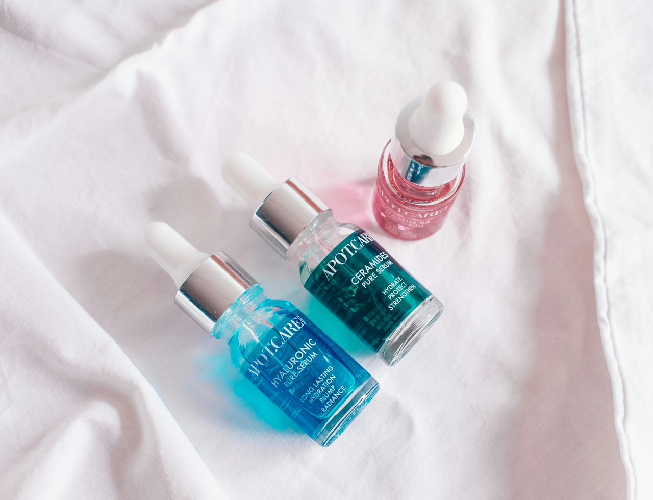
- When choosing a face oil, look for products that contain antioxidants and fatty acids. Jojoba oil is especially beneficial since, chemically, it’s very close to our natural face sebum. Vitamins E and C are also excellent face oil ingredients, as they have potent anti-inflammatory properties and help to combat ageing signs.
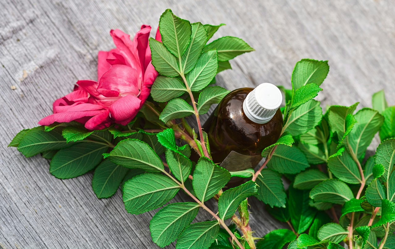
Facial oils are some of the most effective skincare products that nourish our skin and make it appear healthy and glowing. While face oil ingredients vary from brand to brand, all of them are used primarily for moisturising the skin, specifically, for preventing the skin from losing moisture.
However, many people still don’t know a lot about face oils and have no idea how to use them properly. For instance, many individuals with oily skin think that they don’t need face oil, which is a myth. If you want to get real results from these products, it’s important to know how and when you use a facial oil. There are many factors you need to take into consideration, such as your skin type, time of day, etc. This article provides a detailed guide on how to use a face oil and gives tips that will help you increase this product’s effectiveness even more.
(more…)