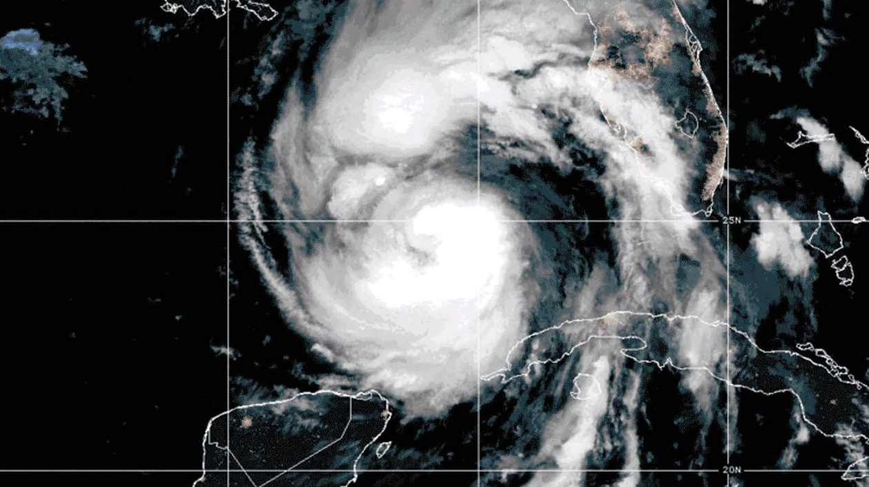
A record-wide hurricane, Helene, made landfall on Florida’s Gulf Coast on September 26 as a Category 4 storm, causing extensive damage with its massive storm surge and tropical storm-force winds extending up to 500 kilometers from its center.
Helene, much like other recent hurricanes, seemed to emerge suddenly. Just three days prior, it was a mere tropical disturbance off the Yucatán Peninsula, designated as PTC9. However, on September 24, the U.S. National Hurricane Center issued a surprising forecast for PTC9, predicting a rapid intensification that would set a new record.
In just 60 hours, PTC9 was expected to escalate from winds below 35 knots to hurricane-force winds of at least 100 knots. This prediction proved accurate, as Helene, driven by the exceptionally warm Gulf of Mexico waters and lack of wind shear, intensified rapidly.
Three key points highlight Helene’s unprecedented behavior: rapid intensification, fueled by record-high Gulf temperatures, and the absence of wind shear. Helene’s intensification was not just textbook but exemplary, mirroring the predictions of scientists who have long anticipated such events due to rising ocean temperatures.
Another factor contributing to Helene’s strength was the absence of wind shear, which typically disrupts storm formation. Meanwhile, Hurricane John, another recent storm, also caught forecasters off guard with its sudden intensification, underscoring the unpredictability of smaller storms.
The National Hurricane Center’s experimental forecast cone, introduced in August, aims to better inform the public about the widespread impacts of hurricanes, including Helene, which was projected to cause catastrophic storm surges and extensive wind fields.
As Helene moved northward after landfall, it continued to wreak havoc with powerful winds, heavy rains, and flash floods across several states. This event underscores the critical need for accurate forecasting and public awareness to mitigate the impacts of such devastating storms.


